the appeLlation
The Yorkville Highlands AVA was approved in 1998. It starts just five miles west of Cloverdale on Highway 128. The main distinguishing factor of the AVA is its elevation. The result of which is that all 24 current vineyards are planted between 850 and 2,500 ft. and benefit from high diurnal temperature ranges and the mélange of soils including gravel and old brittle rock found in benchlands.
The Yorkville Highlands appellation consists of approximately 40,000 acres straddling Highway 128 between the Alexander Valley to the southeast and the Anderson Valley to the northwest.
Its largest plantings are in order: Cabernet Sauvignon, Syrah, Pinot Noir, and Merlot. Of the 414 total acres planted, 83% are red varietals.
The AVA is at the headwaters of two watersheds: the Russian River and the Navarro River..
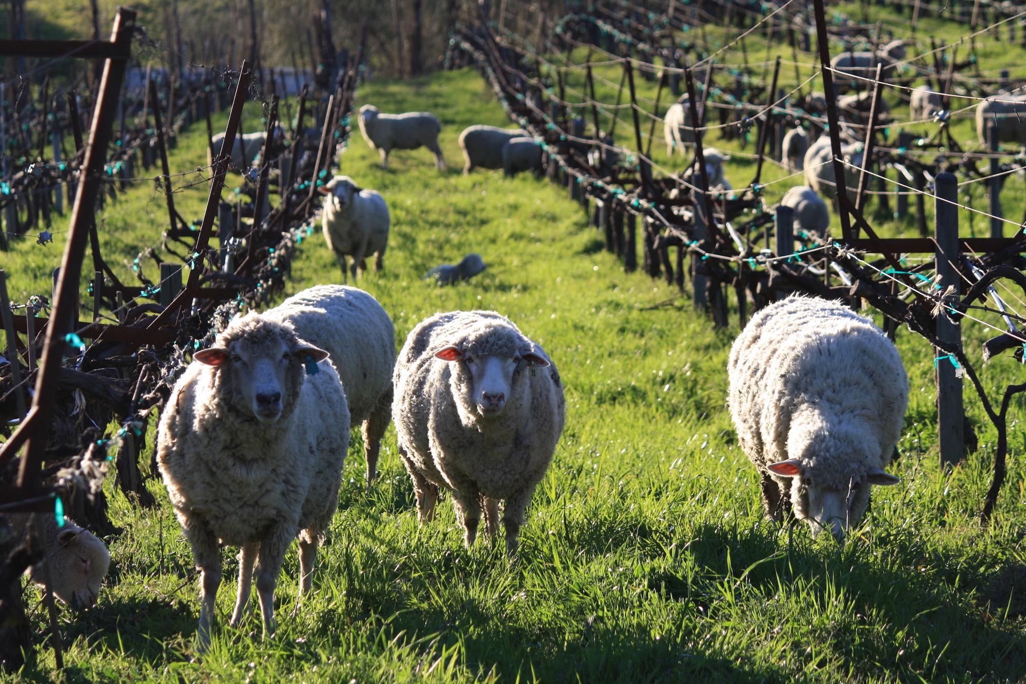
There are only about 50 appellation-designated artisan wines that are produced annually from Yorkville Highlands grapes; each made in very limited quantities.
topography
The Yorkville Highlands AVA area lies generally along the headwaters of Dry Creek and Rancheria Creek. The vineyards in the area are all above 850 feet in elevation. The area is a continuous string of high benches and land troughs bordered by even higher ridges with Highway 128 running down the middle. The U.S.G.S. topographic maps show the area is a valley, with Highway 128 and the Rancheria and Dry Creeks running along the northwest-southeast axis. This center line of the area is the lowest part, at approximately 850 feet, and the highest, in the area near the northern boundary, is over 3,000 feet.
Soils
In regards to soil the area differs from the Anderson Valley or Hopland. They are thinner than Hopland but more fertile and varied than Anderson Valley. In the Yorkville Highlands they are rocky hill soils characterized by gravel and old brittle rock. These generally thin soils found on the high benches and land troughs of the area stand in stark contrast to the generally very loamy clay soils found in the valleys and bottom lands dominating the neighboring approved viticultural areas.
There is a mélange of soils which fall into the Yorkville Series that are mountainous, deep, well drained, and composed of schist, brittle sandstone, and other sedimentary and metamorphic rocks including quartz. Some percentage of loamy clay keeps the soil united.
Soil types mapped by the U.S. Soil Conservation Service include: Bearwallow, Hellman, Cole Loam, Henneke, Montara, Hopland Loam, Squawrock, Witherell, Yorkville and Boontling. Only one or two of these soil types are found in common with a neighboring viticultural area.
Climate
The climate in the Yorkville Highlands is influenced by marine air well over 50 percent of the time. Almost every morning during the growing season, the moist marine fog is found on the high benchlands and land troughs, which connect the cooler Anderson Valley with the much warmer Alexander Valley. The trees on these bench lands are draped with the moss from this ocean air invasion and cooler climatic condition.
The climate of the AVA has days warmer than Anderson Valley but cooler than Hopland. The nights are cooler than both Anderson Valley and Hopland. This means many grape varieties can be grown in this area but will have a long ripening period which will greatly enhance fruit flavors and quality. Dramatic diurnal shifts in temperature of 40º to 50º can be quite common in the summer and sometimes in the winter. This can be key as the nighttime cooling intensifies polyphenol compounds (flavors), preserves acidity, and tends to produce smaller berries during the growing season.
Unofficial heat summation data collected at the Weir Vineyards within the area reflects an average of 3,060 degrees, compared to approximately 2,500 in Boonville and Philo to the northwest, and 3,650 reported by the University of California Agricultural Extension Service in Cloverdale, to the southeast.
Average annual rainfall within the Yorkville Highlands area from 1961 through 1990, as measured by the Department of Water Resources, Eureka Flood Center at the Yorkville Station, was 50.5 inches. The Anderson Valley, to the northwest, receives an average of 40.7 inches of rain per year.